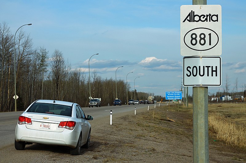
Alberta Provincial Highway No. 881, commonly referred to as Highway 881, is a highway split into two sections in northeast Alberta, Canada. Each section is over 200 kilometres (120 mi) in length; the southern portion runs from Highway 13 in Hardisty to Highway 55 northwest of Bonnyville, while the northern section stretches from Highway 55 in Lac La Biche to the south side of Fort McMurray, serving as an important alternate route to Highway 63. A 72-kilometre (45 mi) section of Highway 55 joins the two sections. Lac La Biche County is lobbying the Government of Alberta to renumber the section of Highway 881 between Lac La Biche and Fort McMurray to Highway 36.
Both sections are entirely paved. This highway is also 49 Street in Hardisty, 53 Street in Irma, 47 Street in Mannville, 50 Street in Myrnam, and 40 Street in St. Paul.
Future
In October 2012, the Government of Alberta announced $158 million in funding to improve Highway 881 between Lac La Biche and Fort McMurray, and an additional $150 million for extension of the highway from Anzac to Highway 69 (now Saprae Creek Trail) near Fort McMurray.
Major intersections
See also
- List of Alberta provincial highways
References
External links
- Powerful wildfire memories spur council support for new highway