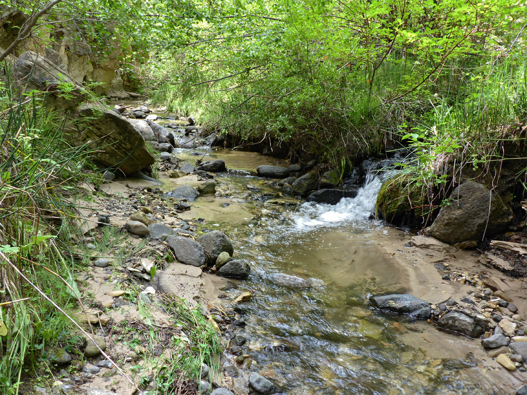
Birch Creek flows into Esopus Creek in Big Indian. Most of Belleayre Ski Resort is located within Birch Creek’s watershed, and therefore the runoff from the ski resorts snowpack drains into Birch Creek via Cathedral Brook.
Hydrology
Discharge
The United States Geological Survey (USGS) has maintained a stream gauge along Birch Creek since October 1998. The gauge is located in Big Indian, .1 miles (0.16 km) upstream from Lasher Road. It had a maximum discharge of 1,460 cubic feet (41 m3) per second on August 28, 2011, as Hurricane Irene passed through the area. It had a minimum discharge of 1.6 cubic feet (0.045 m3) per second on September 26, 2008.
References