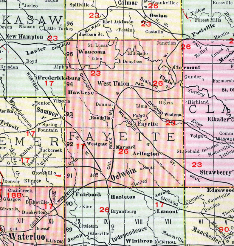
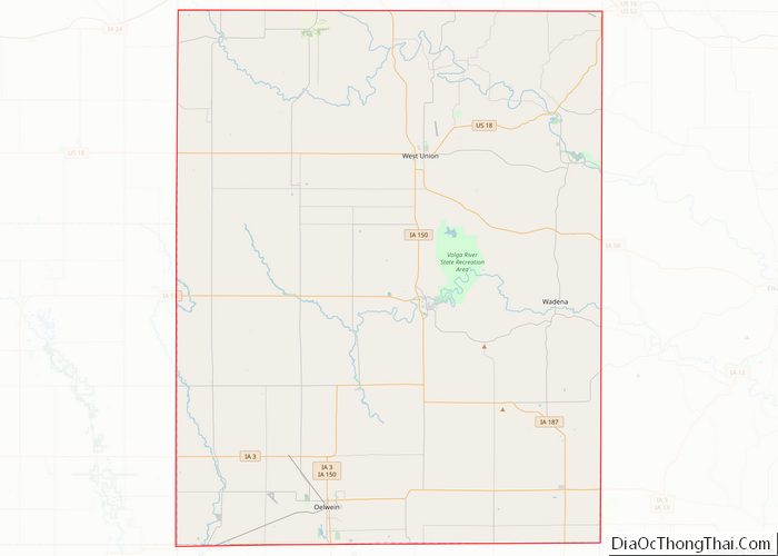
Center Township is one of twenty townships in Fayette County, Iowa, United States. As of the 2010 census, its population was 313.
Geography
According to the United States Census Bureau, Center Township covers an area of 36.73 square miles (95.13 square kilometers); of this, 36.69 square miles (95.03 square kilometers, 99.89 percent) is land and 0.04 square miles (0.11 square kilometers, 0.12 percent) is water.
Cities, towns, villages
The town of Randalia is located in Center township. It is the only incorporated community. The disincorporated community of Donnan was located at 42.896091°N 91.877944°W / 42.896091; -91.877944.
Adjacent townships
- Windsor Township (north)
- Union Township (northeast)
- Westfield Township (east)
- Smithfield Township (southeast)
- Harlan Township (south)
- Fremont Township (southwest)
- Banks Township (west)
- Bethel Township (northwest)
Cemeteries
The township contains these three cemeteries: Center Grove, Dunham's Grove and Fayette County Farm.
Major highways
- Iowa Highway 93
Airports and landing strips
- Hawk Landing Strip
Landmarks
- Twin Bridges County Park (west three-quarters)
School districts
- North Fayette Valley Community School District
- West Central Community School District
Political districts
- Iowa's 1st congressional district
- State House District 18
- State Senate District 9
References
- United States Census Bureau 2008 TIGER/Line Shapefiles
- United States Board on Geographic Names (GNIS)
- United States National Atlas
External links
- US-Counties.com
- City-Data.com